Gum Creek Tract
Potts Circle Road : Roopville, GA 30170
Heard County, Georgia
Farm Description
Fertile soils and gentle terrain helped Carroll County become known for being the leading cotton producing county in the state during the early twentieth century. If you know what to look for, even today you can see evidence of this farming legacy at Gum Creek. The area is also known for its rich American Indian history, particularly its heritage with the Creek Indian Nation and Chief William McIntosh whose plantation home was called Lockchau Talofau (Acorn Bluff). Now preserved as a county park, McIntosh Reserve is located east of Gum Creek between Hwy 5 and the Chattahoochee River.
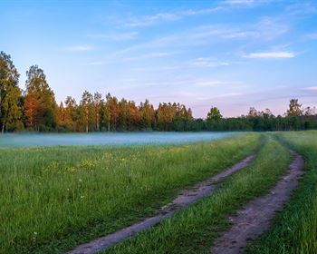
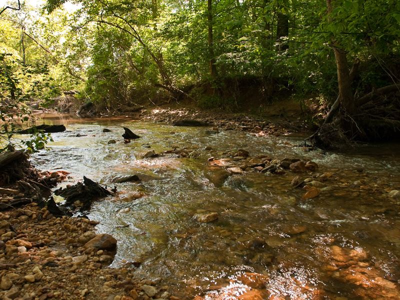
For the past 60+ years, Gum Creek has been managed for timber production. Today the primary timber stand is a pine plantation planted in 1984 and thinned in subsequent years. The northern half of the property was thinned to a quail plantation density followed with a prescribed understory burns. A number of small openings were established in the “quail plantation” and connected with tractor paths to replicate a quail course more common to South Georgia plantations. The southern portion of Gum Creek is more traditionally managed for big game hunting, deer and turkey, and features several larger openings established with mixes of annual and perennial wildlife crops. The entire western border of the property is high fenced by a neighboring deer farm; the southern boundary runs along the courses of beautiful Gum Creek. Adjacent bottom land fields and pastures help make this area of Carroll and Heard County a hunter and nature enthusiast's delight.
